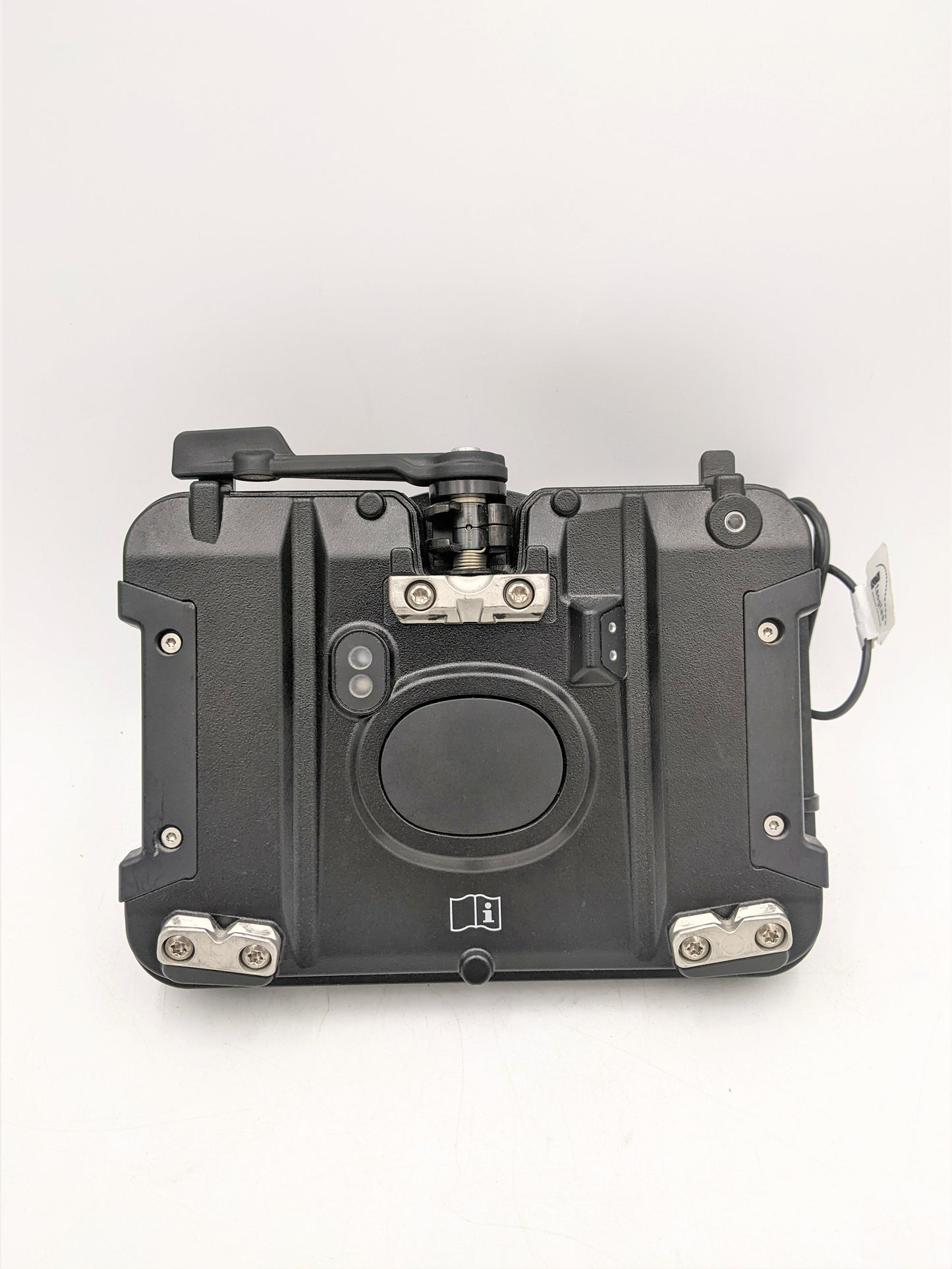
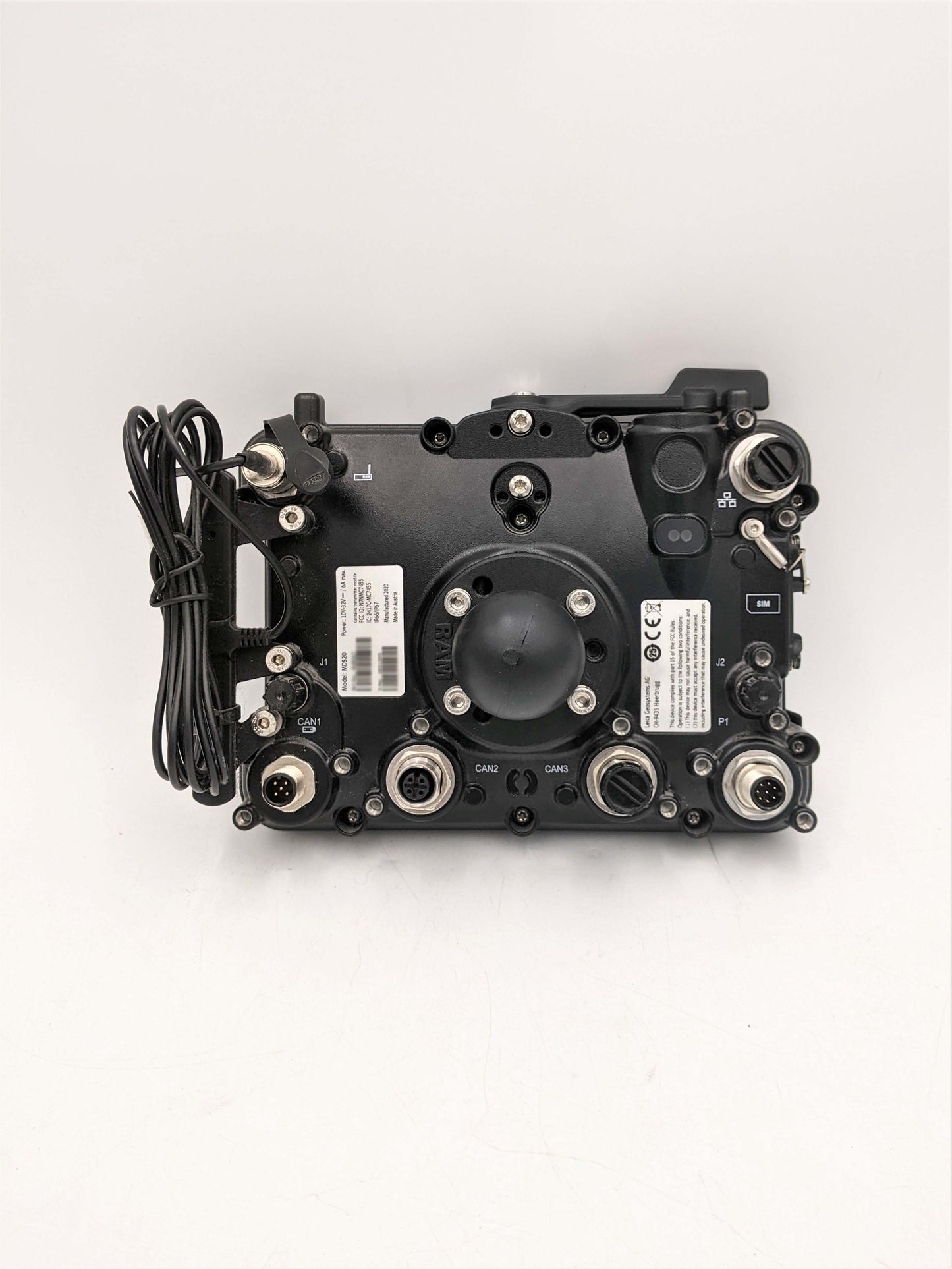
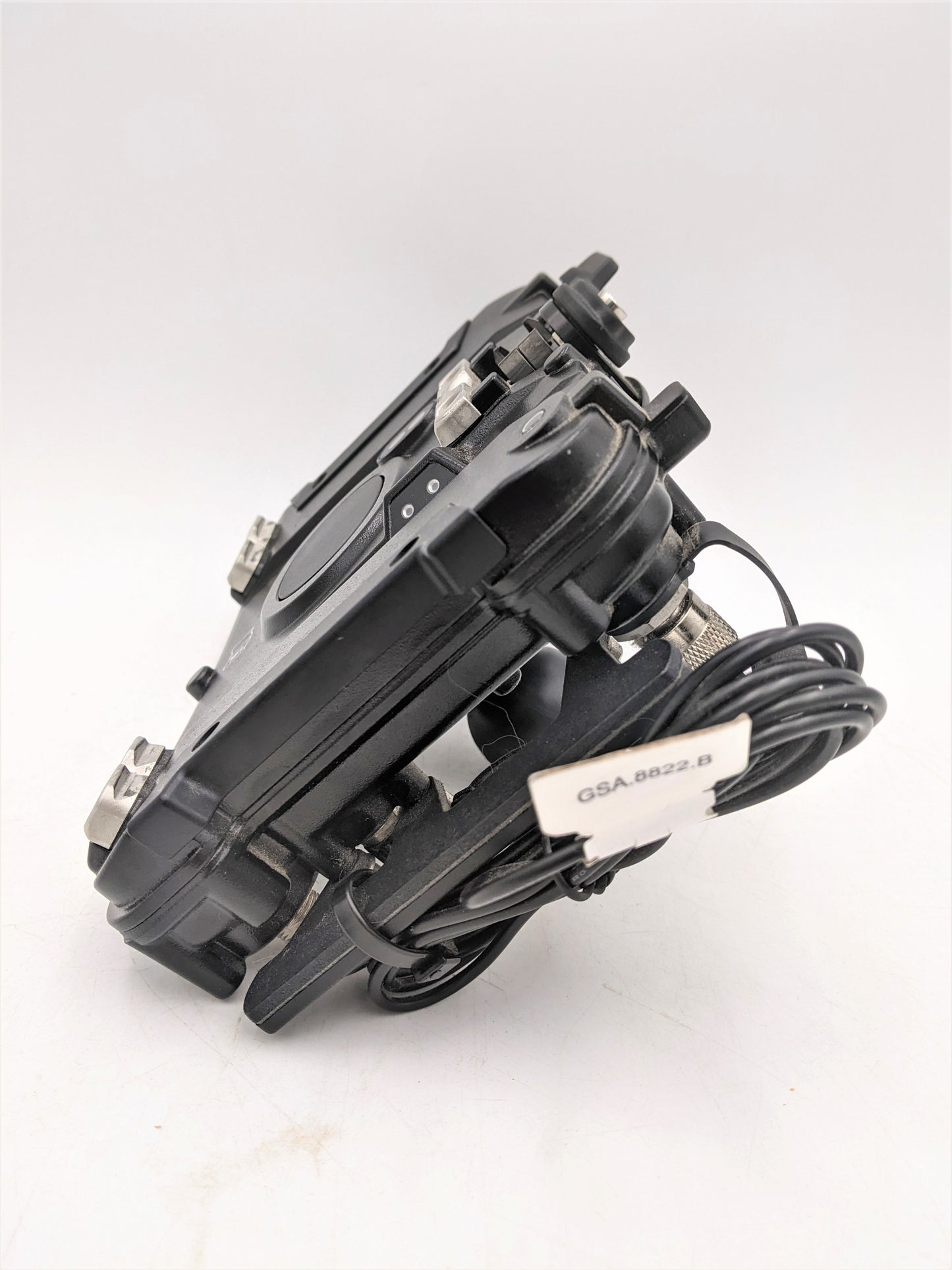
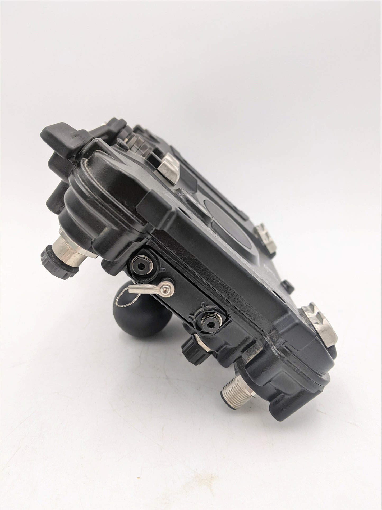
Leica MDS20 – Daten- und Kommunikationsmodul für GNSS-Systeme
Leica MDS20 – Daten- und Kommunikationsmodul für GNSS-Systeme
Verfügbarkeit für Abholungen konnte nicht geladen werden
Leica MDS20 – Daten- und Kommunikationsmodul für GNSS-Systeme
Perfekter Zustand 10/10
Sofort einsatzbereit ✅
Schneller weltweiter Versand 🌎 mit Sendungsverfolgung
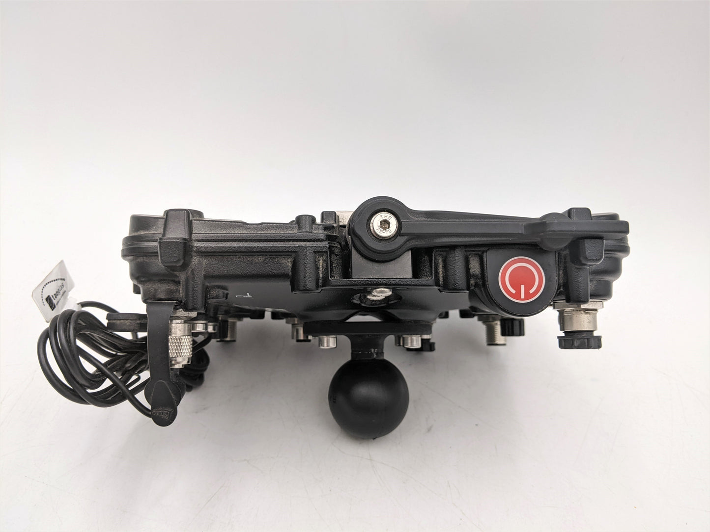
Das Leica MDS20 ist ein hochwertiges Daten- und Kommunikationsmodul zur Integration und Verwaltung von Daten in GNSS-Systemen (Global Navigation Satellite System). Es gewährleistet Präzision, Zuverlässigkeit und Flexibilität bei der Datenverarbeitung und -kommunikation in geodätischen und Bauprojekten.
Hauptmerkmale:
-
Datenverarbeitungsfunktionen:
- Datenerfassung und -verarbeitung: MDS20 empfängt Daten von GNSS-Antennen und anderen Sensoren und gewährleistet so eine hochwertige Verarbeitung und Analyse. Das Modul nutzt fortschrittliche Korrektur- und Filteralgorithmen, um Genauigkeit und Zuverlässigkeit zu verbessern.
- Korrektur und Verbesserung: Integrierte Technologien zur Fehlerkorrektur und Datenverbesserung minimieren Ungenauigkeiten und gewährleisten hochpräzise Messungen.
-
Kommunikation und Integration:
- Datenübertragung: MDS20 steuert die Datenübertragung zwischen GNSS-Systemkomponenten wie Antennen, Displays und Software. Dies gewährleistet eine stabile und unterbrechungsfreie Interaktion und einen reibungslosen Datenaustausch.
- Schnittstellen: Das Modul verfügt über eine Vielzahl von Schnittstellen, darunter Anschlüsse für Antennen, Displays und andere Peripheriegeräte. Dies ermöglicht die einfache Integration in bestehende Systeme und die Anpassung an spezifische Projektanforderungen.
-
Display-Anschlüsse:
- Displaykompatibilität: MDS20 unterstützt den Anschluss verschiedener Displays, darunter Modelle von Leica und anderen Herstellern. Dies bietet Flexibilität bei der Auswahl von Display-Schnittstellen und Verwaltungsoptionen und ermöglicht es Benutzern, das System an ihre Bedürfnisse anzupassen.
- Datenmanagement und -visualisierung: Durch die Verbindung von Displays über MDS20 werden Datenvisualisierung in Echtzeit, Systemparameterverwaltung und analytische Erkenntnisse direkt vor Ort ermöglicht.
-
Langlebigkeit und Zuverlässigkeit:
- Leistungsfähigkeit unter extremen Bedingungen: Konzipiert für den Einsatz unter verschiedensten Umgebungsbedingungen, einschließlich extremer Temperaturen, hoher Luftfeuchtigkeit und Staub. Dadurch eignet es sich ideal für den Einsatz in anspruchsvollen geodätischen und baulichen Umgebungen.
- Langlebigkeit: Hergestellt aus robusten Materialien, die Langlebigkeit und Zuverlässigkeit auch bei intensiver Nutzung gewährleisten.
-
Benutzerfreundlichkeit:
- Benutzerfreundliche Oberfläche: Das Modul verfügt über eine intuitive Oberfläche für Einrichtung und Verwaltung, die die Bedienung vereinfacht und eine schnelle Anpassung an die Projektanforderungen ermöglicht.
- Flexibilität und Skalierbarkeit: Die Möglichkeit, verschiedene Displays anzuschließen und sich in andere Systemkomponenten zu integrieren, macht MDS20 zu einer vielseitigen und anpassungsfähigen Lösung für ein breites Anwendungsspektrum.
Anwendungsbereiche:
- Geodäsie: Wird für präzise Messungen, die Erstellung topografischer Karten und die Landplanung verwendet.
- Bauwesen: Wird zur Überwachung von Bauprojekten, zur Verfolgung von Veränderungen an Bauwerken und zur Steuerung von Bauprozessen eingesetzt.
- Kartografie und Planung: Unterstützung bei der Erstellung von Karten und Plänen für die Stadtplanung, Verkehrsnetze und Infrastruktur.
Das Leica MDS20 ist eine zentrale Komponente in GNSS-Systemen und bietet eine zuverlässige und flexible Lösung für Datenverarbeitung und -kommunikation. Dank seiner vielfältigen Anschlussmöglichkeiten für das Display ist es ein besonders wertvolles Werkzeug für Fachleute in der Geodäsie und im Bauwesen.
Share